
Get ready for a round of strong to severe t’storms capable of producing strong gusty winds, hail and heavy downpours. A strong cold front will move in tonight but out ahead of it, warm and humid conditions will continue through the remainder of the day. It will be quite breezy with winds out of the southerly direction 15-20mph with gusts over 20mph+. Temperatures will approach 80 degrees. If you’re heading to the beach, water temperatures have risen into the low 70s but keep in mind that rip currents are still quite strong so always swim at guarded beaches.
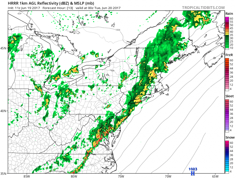 Computer models show a line of strong to severe storms approaching late evening.(Courtesy:tropicaltidbits.com)
While there could be a chance of a shower late this afternoon, the main line of t’storms are expected to arrive after 6pm.
 The greatest risk of severe t’storms will stay to our west but we still can expected the potential for heavy downpours, lightning, hail, strong gusty winds and localized flooding.
For the remainder of the week, warm temperatures will remain but humidity levels will slowly drop to more comfortable levels.


