Warm & Humid air has returned for the weekend and we will continue to run the risk of a few showers and even a t’storm. A warm front trying to move through the area on Saturday will give us the best chance of rain, however, it won’t be raining the whole time. Clouds and fog will dominate the weekend skies with some breaks of sun possible. UV Index will be moderate to high despite the low clouds. Temperatures will be in the upper 70s during the day.
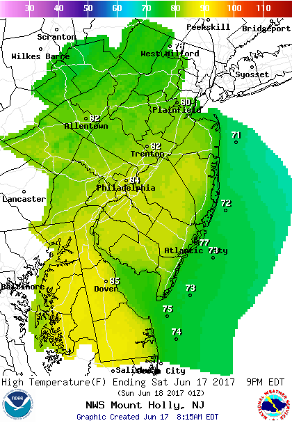 Forecast Highs Saturday
Surf will be 3-5 feet with water temperatures in the upper 60s. The main threat this weekend, if you are going in the water, will be the rip currents. Rip current risk has been raised to high this weekend. Do not swim alone, near jetties or unguarded beaches.
Sunday will be the better of the two days as some sun is possible. We still run the risk of a shower but should be a mainly dry day. Temperatures will climb to near 80. The UV Index will be high.
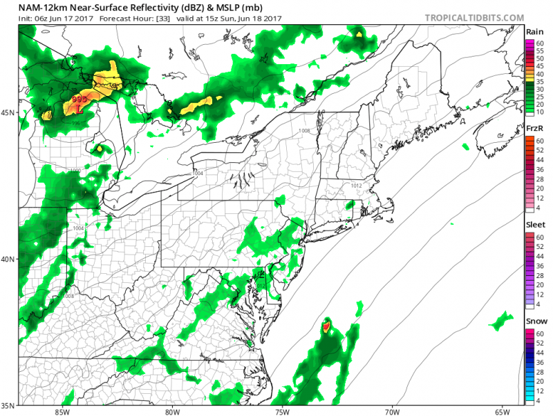 Computer models show the best chance of showers Sunday will be inland. (Courtesy:tropicaltibits.com)
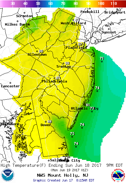 Forecast Highs For Sunday


