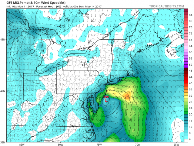
A lousy start to the weekend as a coastal storm will bring heavy rain and wind to our area. Saturday in Ocean City is also the annual Martin Z. Mollusk Day where we get to see if the famous hermit crab will predict if summer will arrive early. If he sees his shadow it will be an early summer. Unfortunately, will all the clouds and rain, he will have a hard time seeing a shadow.
Rain will be heavy at times through the morning and early afternoon with a rumble of thunder possible. Winds will be quite busy out of the east 20-25mph. Temperatures will remain in the 50s.
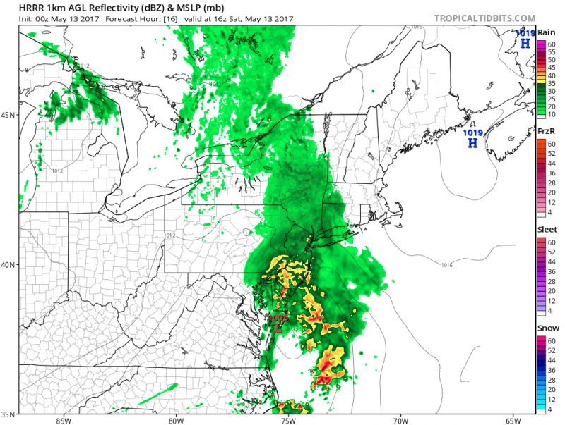
Computer models shows a washout on Saturday. (Courtesy:tropicaltibits.com)
Heaviest rain will fall between 9am-4pm. After that, rain will taper off to showers towards Saturday evening.
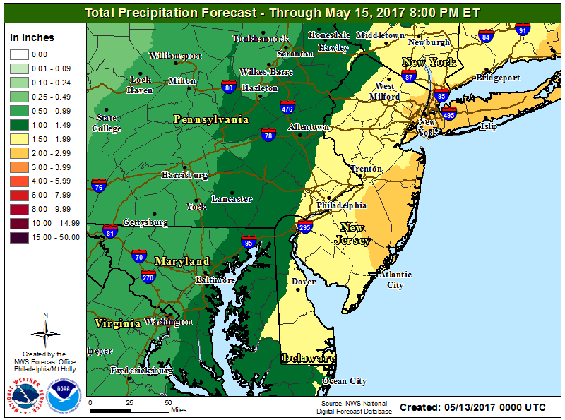
Around 2″ of rain is expected across South Jersey before the rain ends Saturday night.
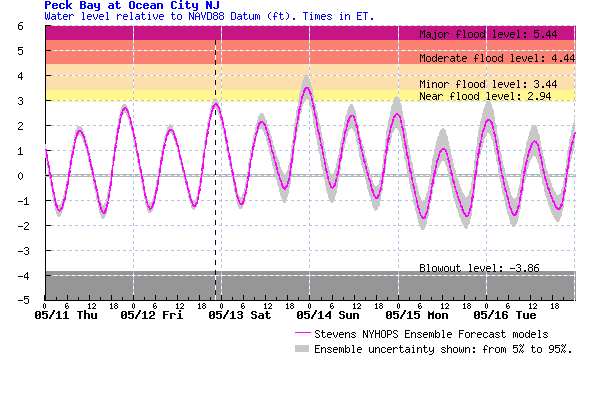
With the steady onshore winds and developing coastal storm, tides will run higher but generally stay below flood stage except for Saturday night where spotty minor tidal flooding is possible. The greatest threat of coastal flooding will be north of Atlantic City. However, street flooding on the islands is expected as heavy rains will fill up the usual areas.
Brighter Mother’s Day..
The good news that Mother’s Day is looking dry and milder. However, it will be windy as the coastal storm intensifies offshore. Sunshine will return and strong westerly winds will push temperatures into the upper 60s.
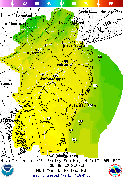 Forecast Highs For Sunday
Warmer days ahead…
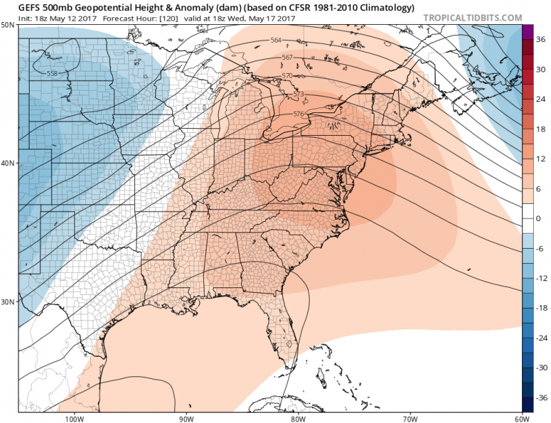
Next week is looking warmer. A ridge of high pressure will finally build in. We can expect more sunshine and temperatures back into the 70s (80s inland).
