
Another gloomy day for your Tuesday with a lot more rain and coastal flooding expected. A slow moving storm system off the Carolinas will continue to move slowly up the coast. Rain will become heavy at times during the late morning into the afternoon. A rumble of thunder is possible as well. The heaviest rain should fall between 11AM-3PM.
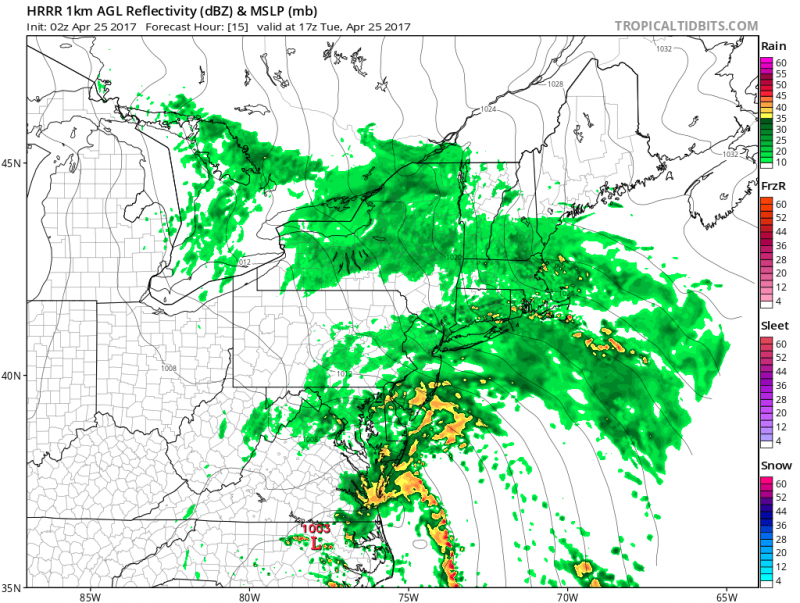 Computer models show periods of rain and a t’storm during the day on Tuesday(Courtesy:tropicaltidbits.com)
Winds will increase from the East 20-25mph with gusts over 30 mph+ at times.
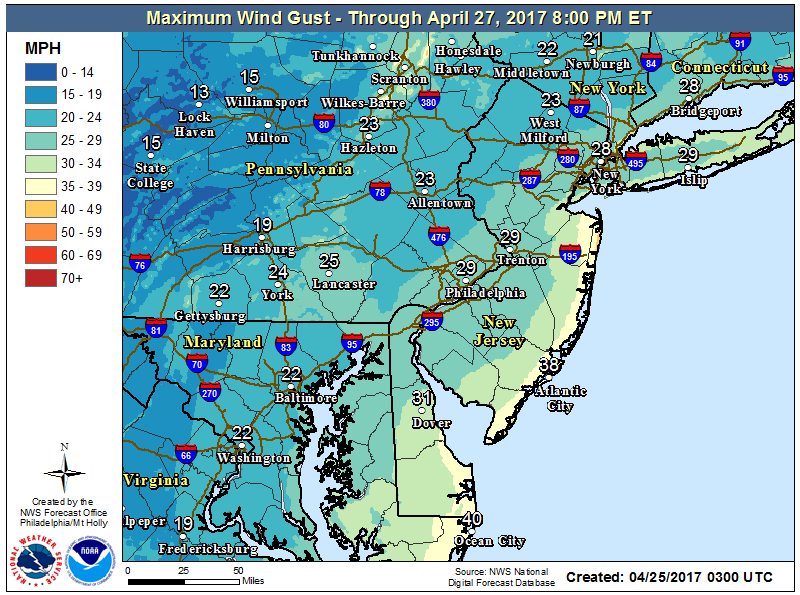 NOAA: Forecast Maximum Wind Gusts For Tuesday.
With persistent onshore flow, heavy rain and a new moon approaching, tides will be going over flood stage by Tuesday PM high tide. Therefore, a Coastal Flood Advisory is in effect. A storm surge of 1 to 1.5 feet is expected with wave heights of 5 to 8 feet along the beaches.
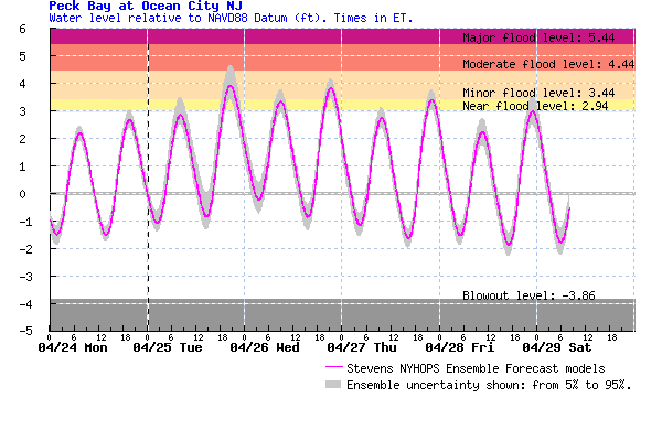 Tidal forecasts show minor flooding likely later Tuesday (7-10PM) and possibly on Wednesday.
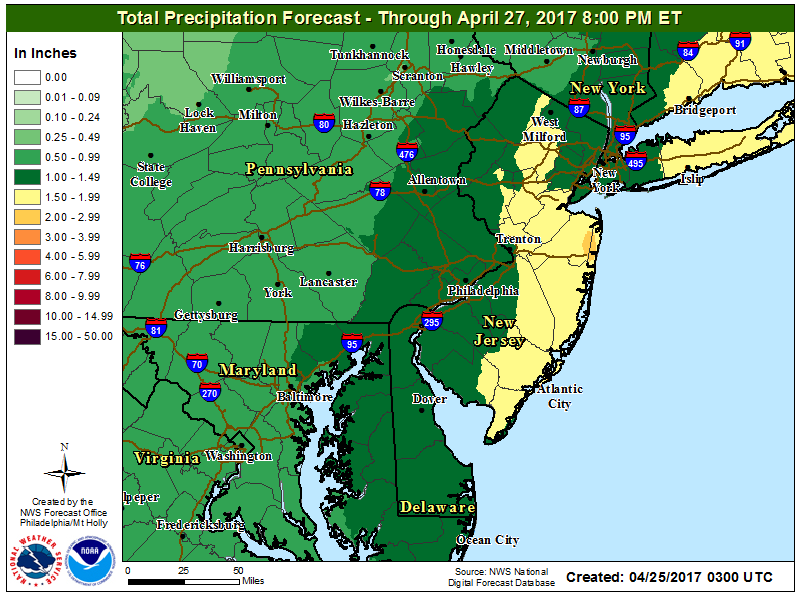
The heaviest rainfall should fall along the Jersey Shore where 1″-2″ is expected.
The low pressure system will still be hanging around by Wednesday. As a result, a few lingering showers are still possible. Unfortunately, clouds should still hang in for the remainder of the day with some clearing possible late in the day. Temperatures
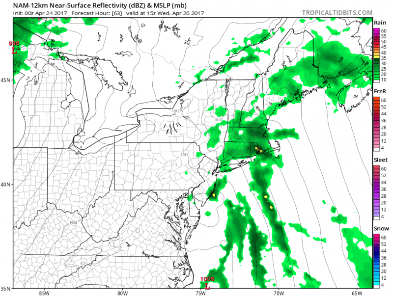 Computer models show some leftover showers early Wednesday as the low pressure system hangs around. (Courtesy:tropicaltibits.com)
Warmer Temps Ahead…
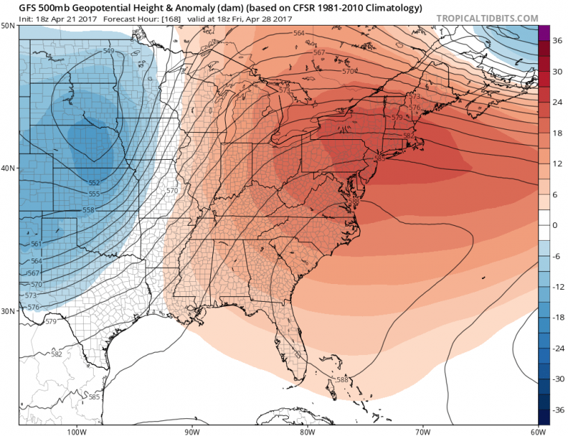
Conditions will start improving by Thursday as the low pressure system finally moves away. This will also begin a return to warmer weather as a ridge of high pressure dominates the East Coast.
Plenty of sunshine and warmer temperatures by Thursday and into the weekend with highs returning into 80s inland with 70s along the coast.
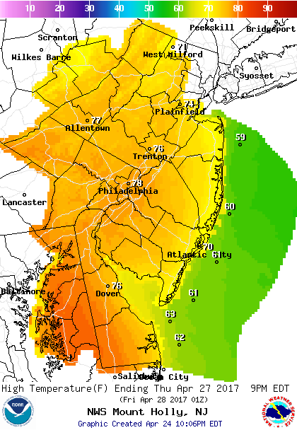 Forecast Highs on Thursday.
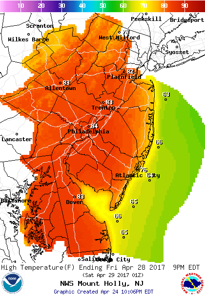 Even Warmer For Friday & The Weekend!


